Distributed for Bodleian Library Publishing
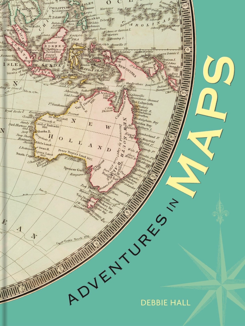
Adventures in Maps
A richly illustrated collection that maps twenty historical journeys.
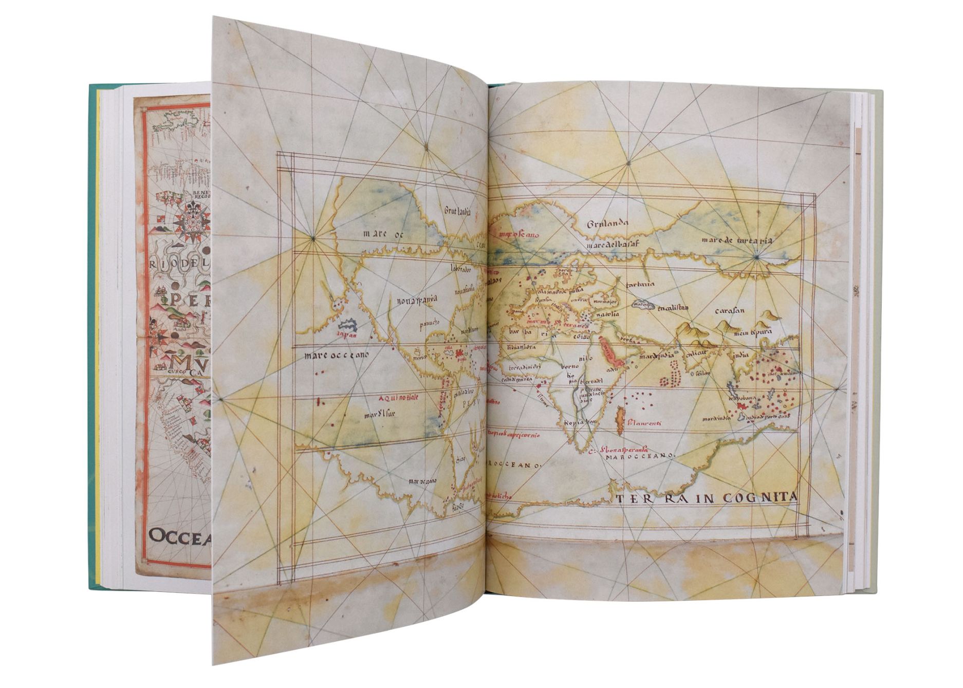
Adventures in Maps features twenty awe-inspiring journeys, ranging in distances from a few miles to great treks across land, sea, air, and space. Some chart the route a traveler followed, while some are the fruits of exploration, and others were made to help future travelers find their way.
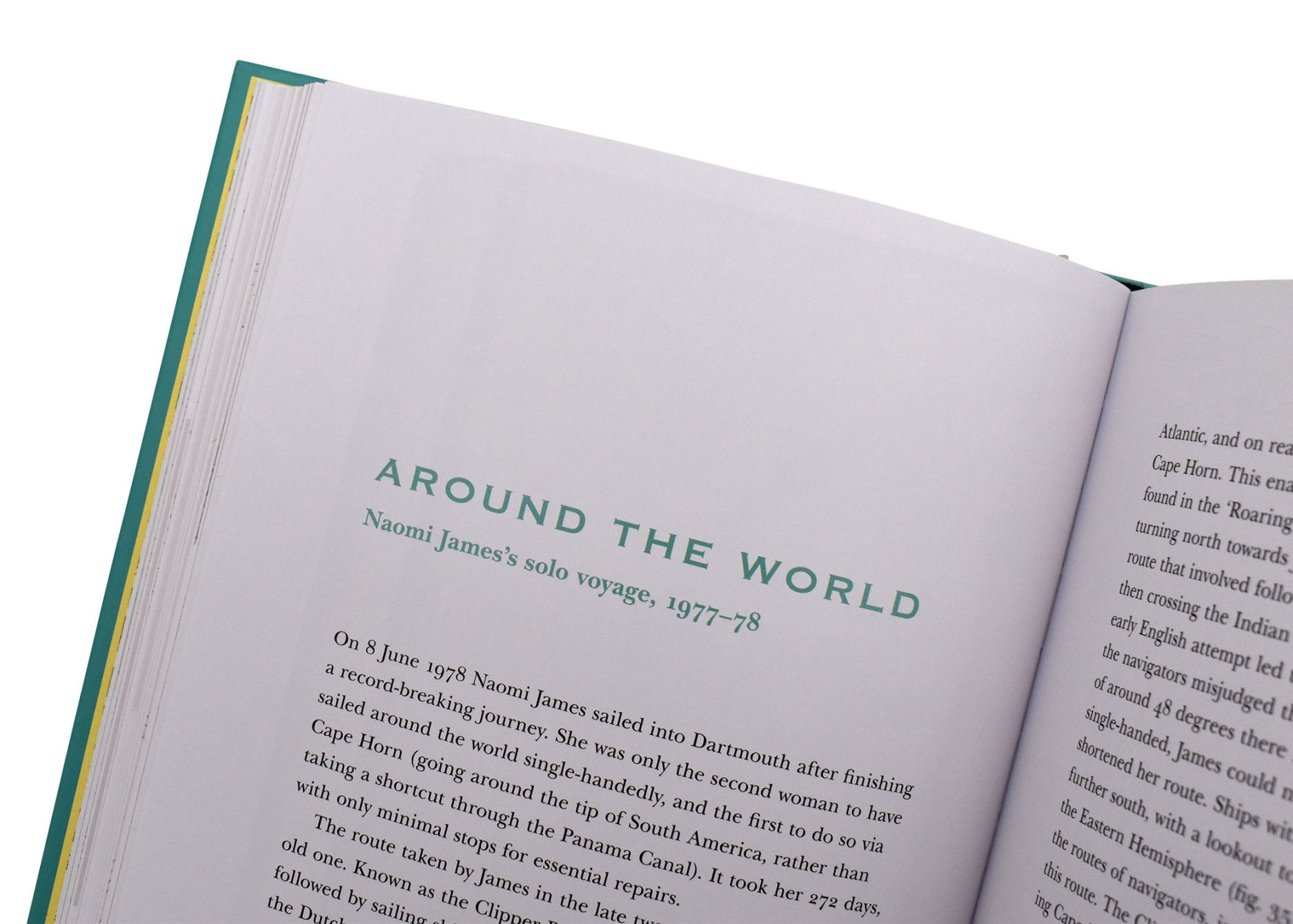
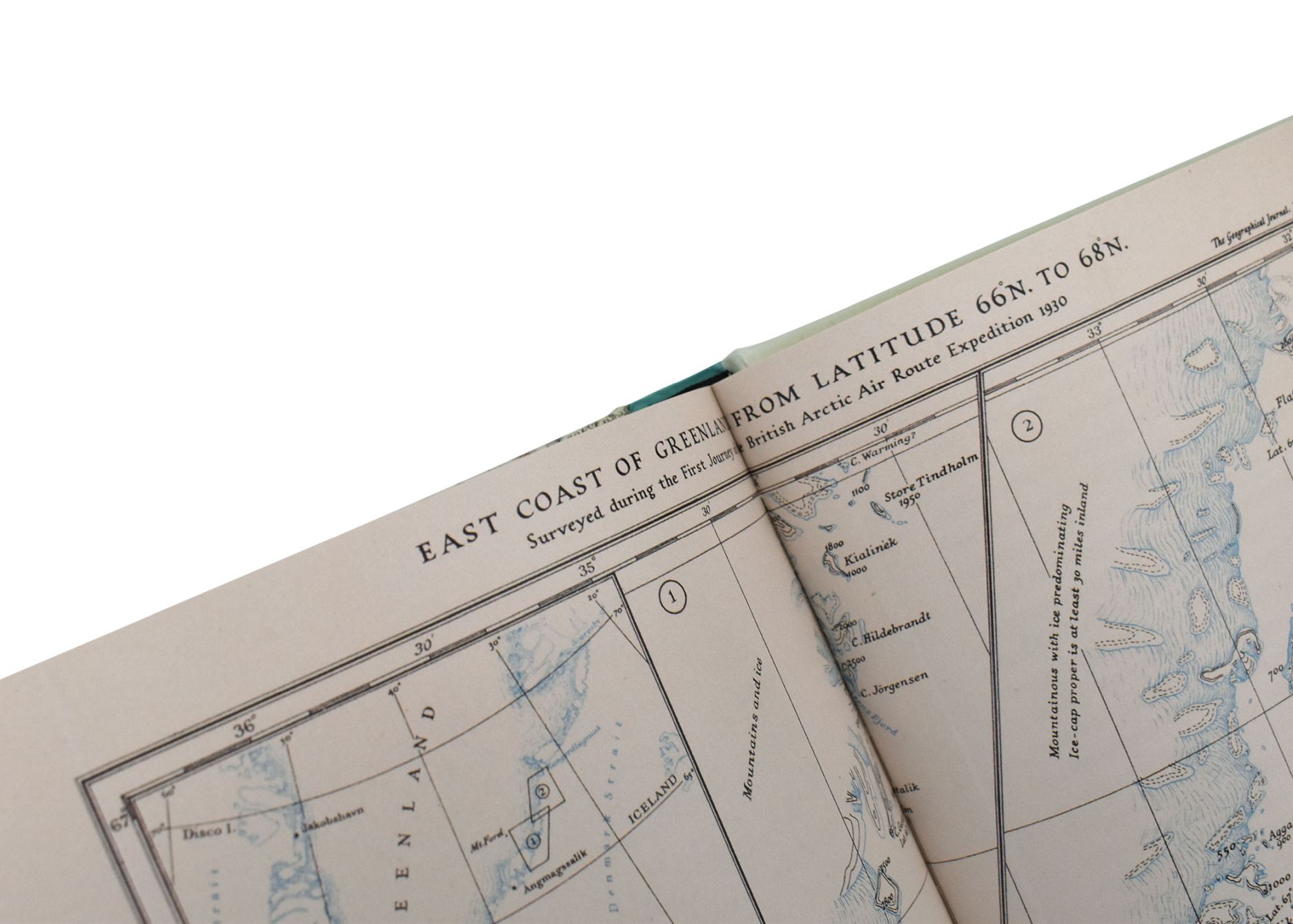
Among these maps are sea charts depicting the sixteenth-century adventures of Richard Hawkins sailing to South America, the surveys of Captain James Cook, and the route followed by pioneering solo yachtswoman Naomi James. On land, we travel North America’s Route 66, follow the archaeological expeditions of David Hogarth along the Euphrates and Aurel Stein on the Silk Road, experience Thomas Cook’s first package tour, and move with pilgrims making their way across Europe. By air and space, we learn the stories of the Arctic explorations needed to enable a Great Circle route by air over Greenland, the first flight from London to Manchester, and the surveys of the Moon that ultimately facilitated the first landing.
These inspirational accounts are drawn from diaries, letters, memoirs, and travelogues: all illustrated with fascinating, beautiful maps.
224 pages | 75 color plates | 6.93 x 8.98 | © 2024
Geography: Cartography
Travel and Tourism: Tourism and History
